


Pick Apple Maps for daily iPhone trips, Google Maps for places, Waze for traffic alerts, and Citymapper for buses and trains. That combo covers most real-life messes, from late school runs to “where is the entrance?” moments. Google says Maps covers over 250 countries and territories, which is handy if you travel often [source: Google].
TLDR: Use Apple Maps when you want the cleanest iPhone experience. Use Google Maps when you need reviews, photos, and business hours. Use Waze when traffic is acting silly. For example, on a 30-minute commute, checking Waze first may help you spot crashes or slowdowns before you leave, while Citymapper can save you stress if your train comes in 7 minutes.

1. Apple Maps: Best for simple daily trips
Apple Maps feels like it belongs on the iPhone. Because it does. It works well with Siri, CarPlay, Apple Watch, and your contacts. That makes it a strong first pick for normal days.
The app is clean. The buttons are not tiny. The voice directions are easy to follow. It also does a nice job with lane help, speed limits, and walking routes.
Best for:
- Driving to work.
- Finding a friend’s address.
- Walking around a city.
- Using Siri while your hands are busy.
What’s annoying? Search can still feel weaker than Google Maps. You may type a small shop name and get odd results. It is better than it used to be, but it still misses sometimes.
Fun little win: If you use an Apple Watch, the wrist taps for turns are great. You can keep your eyes up. Less screen staring. Less panic.
2. Google Maps: Best for finding places
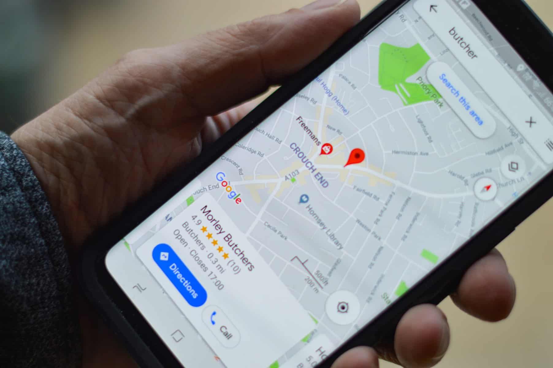
Google Maps is the app I open when I need to know if a place is open, weird, busy, or worth the walk. It is packed with reviews, photos, menus, hours, and phone numbers.
Need coffee near a museum? Google Maps is usually the fastest answer. Want to know if a restaurant has outdoor seating? The photos often tell the truth before the listing does.
Best for:
- Finding restaurants.
- Checking business hours.
- Reading quick reviews.
- Planning trips before you leave.
It drives me crazy that the screen can feel crowded. Ads, photos, pins, labels, and pop-ups all fight for space. Sometimes I just want a route, not a full internet carnival.
Still, it is hard to beat. If you are in a new city, this is the app that helps you pick the better sandwich place in under a minute.
3. Waze: Best for traffic drama
Waze is the loud friend in the car who somehow knows there is a crash two miles ahead. It is built around live road reports from other drivers.
You can see crashes, stopped cars, road work, slow zones, and police reports. That makes Waze great for commuters. It is also great for anyone who hates surprise traffic. So, everyone.
Best for:
- Rush hour driving.
- Long highway trips.
- Avoiding sudden slowdowns.
- Getting crowd-based road alerts.
The catch is simple. Waze can be a bit too excited. It may send you down side streets to save two minutes. That sounds smart until you hit four stop signs and a delivery truck.
Use Waze when time matters. Use another app when you want a calmer drive.
4. Citymapper: Best for buses, trains, and real city life
Citymapper is a gem if your day includes trains, buses, trams, ferries, bikes, or walking. It shines in big cities. It explains trips in plain steps, which is exactly what tired people need.
It can show which train line to take, where to change, and how long the walk is. In some cities, it also shows platform hints and better exits. That is gold when you are late and mildly annoyed.
Best for:
- Public transit.
- Airport to hotel trips.
- Weekend city breaks.
- Mixing walking, train, and bus in one trip.
Honestly, it feels like Citymapper understands that city travel is messy. A route is not just “go here.” It is stairs, exits, delays, rain, crowds, and that one bus stop hiding behind a tree.
Image not found in postmetaWhich one should you use?
Use Apple Maps if you want easy, built-in directions with fewer distractions.
Use Google Maps if the destination matters as much as the route. Food, shops, hotels, parks, and reviews are its strong points.
Use Waze if you drive often and want road reports fast.
Use Citymapper if you ride public transit and hate guessing which exit to take.
The best move is not picking one forever. Keep all four on your iPhone. Put your favorite on the home screen. Keep the others ready for special trips. Streets change. Trains run late. Traffic gets weird. Your map app should fit the day, not the other way around.


